- BIST10012,247-0.16%
- USD49.34+0.24%
- EUR55.21-0.01%
- GOLD4,206.20+0.37%
- INTEREST37.00%-1.00
- BITCOIN83,112+1.66%
- October 13, 202619°
- BIST10012,247-0.16%
- USD49.34+0.24%
- EUR55.21-0.01%
- GOLD4,206.20+0.37%
- INTEREST37.00%-1.00
- BITCOIN83,112+1.66%
- October 13, 202619°
India names 28 sites in Ladakh as China calls move illegal
Beijing rejected India’s decision to give official names to 28 peaks, passes, glaciers and valleys in the disputed Ladakh region, calling it “illegal and invalid.”
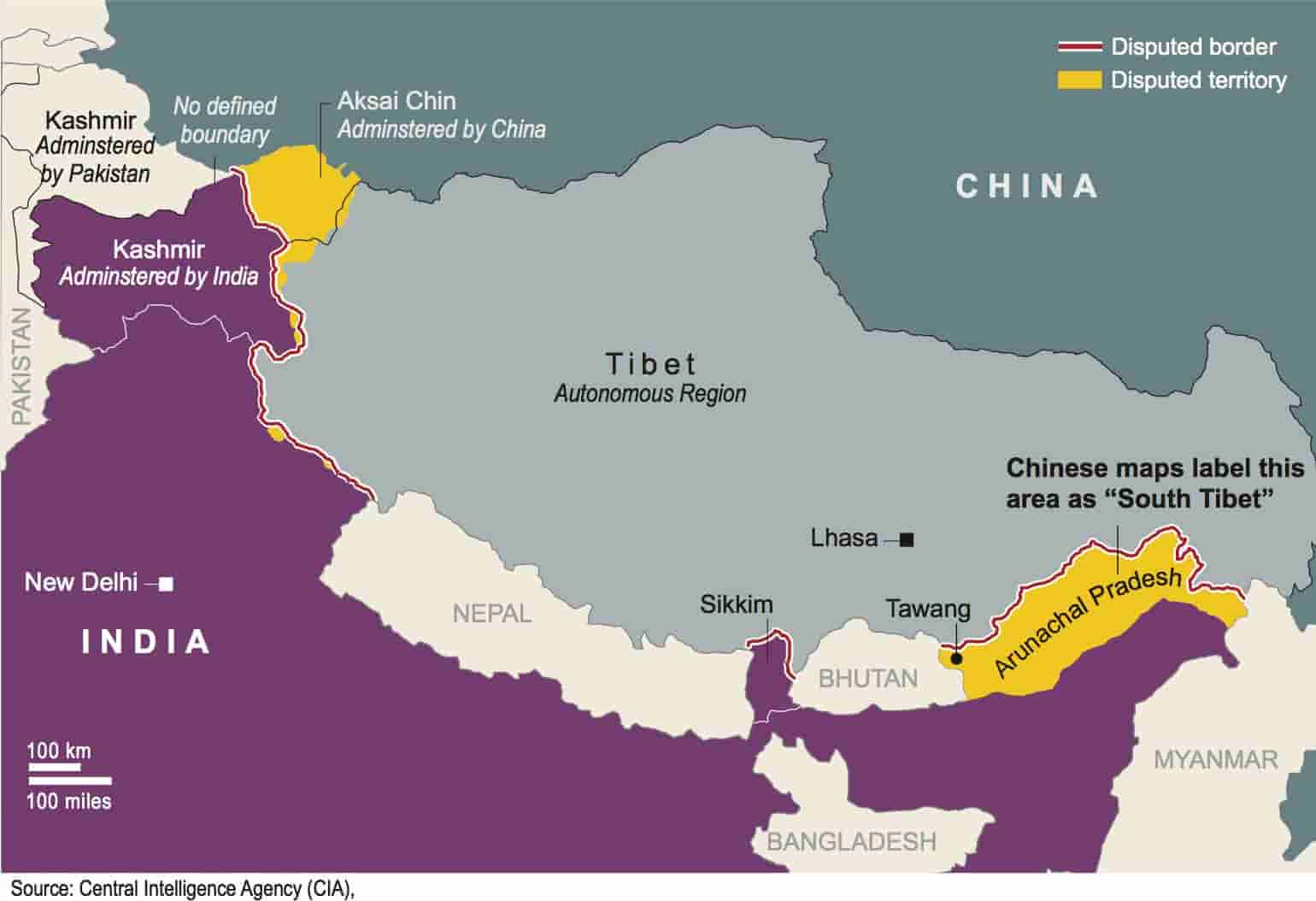
India’s Ministry of Home Affairs announced on Oct. 2 that 28 strategic locations and geographical features in Ladakh, a region disputed with China, had been given standardized names and placed on the country’s official maps. The names, covering peaks, passes, glaciers and valleys, were chosen in consultation with the Ladakh administration.
New Delhi said the move would streamline official cartography, allow precise identification of locations and raise public awareness of the border region. The list includes Gogra and Hot Spring, friction points during the 2020 standoff that are key to Indian patrolling, as well as Kanishka Peak, Zorawar Peak and Shamal Lungpa.
Beijing: “Never recognized”
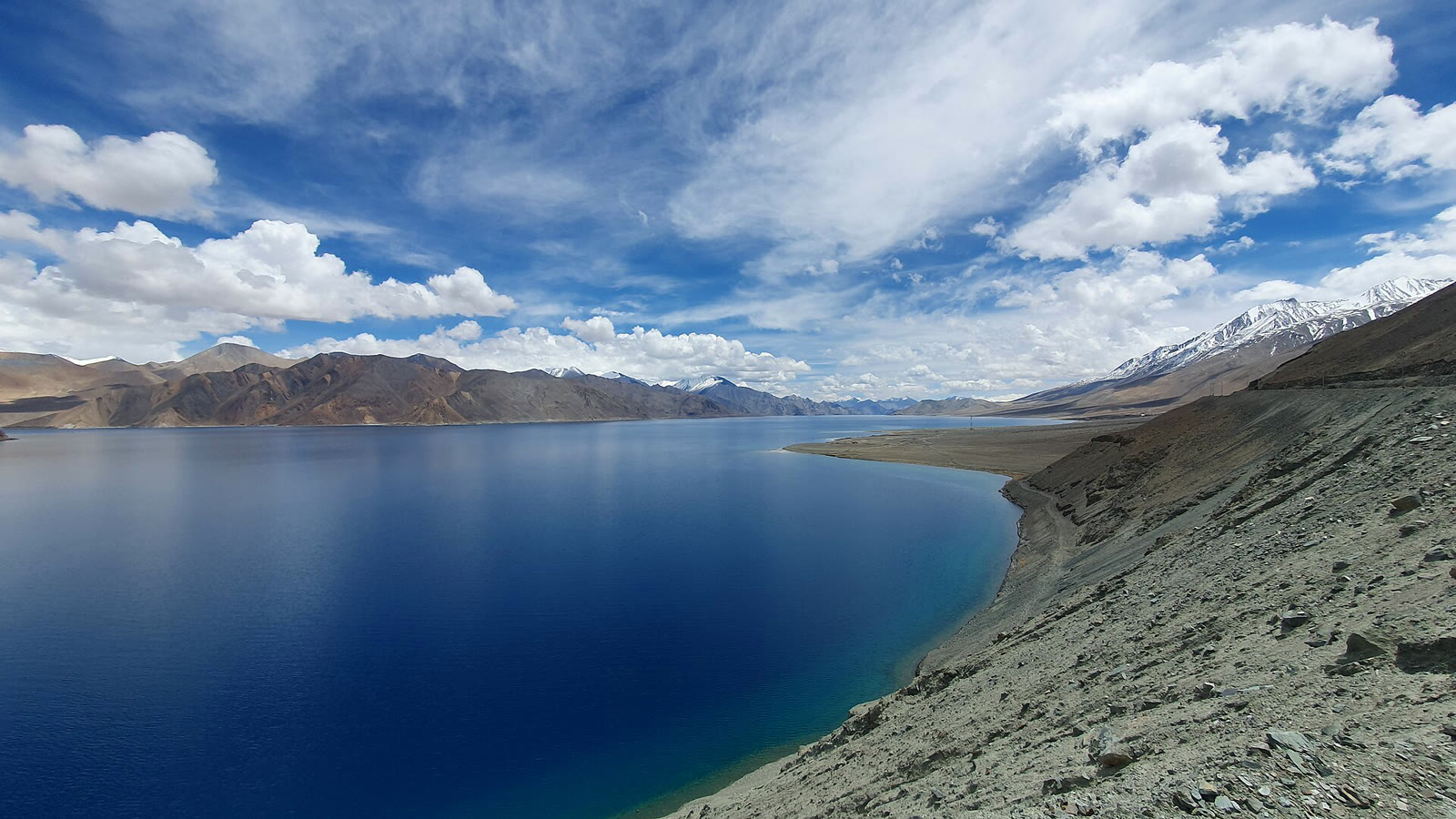
Chinese Foreign Ministry spokesperson Mao Ning said on Oct. 13 that the areas belong to China. “China has never recognized the so-called ‘Union Territory of Ladakh’ unilaterally and illegally established by India,” she told a briefing, adding that India’s move “is illegal and invalid.”
According to Indian media, New Delhi maintains that the entire union territories of Jammu and Kashmir and Ladakh are an integral and inalienable part of India.
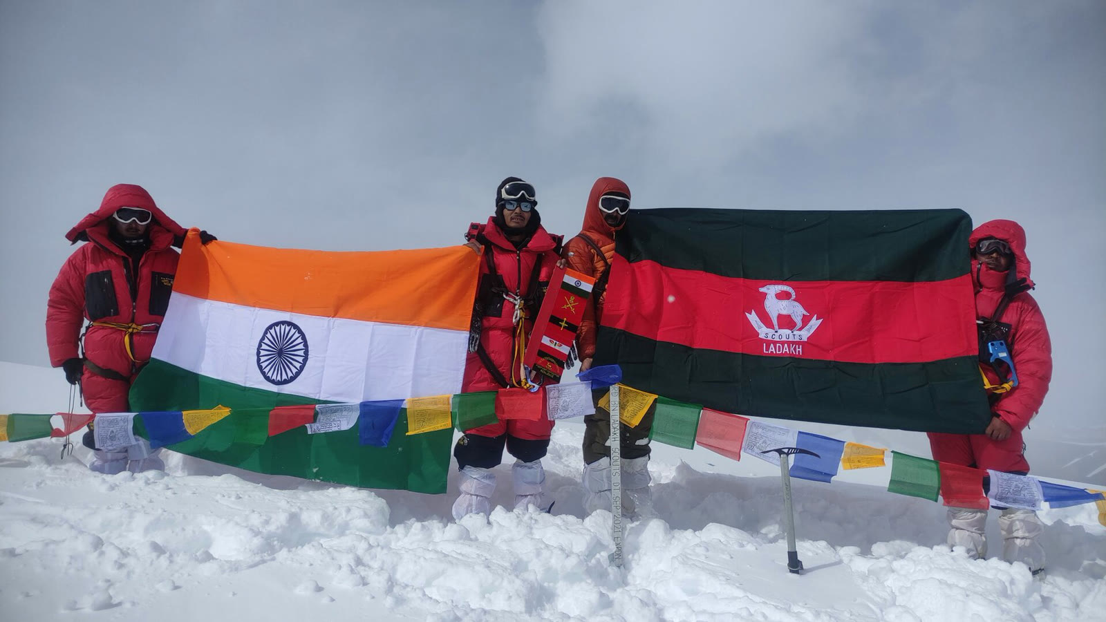
A war of names
Naming disputes are not new between the two neighbors. China has issued its own “standardized” names for places in India’s Arunachal Pradesh, which Beijing calls South Tibet, a move India rejected as “inventing” names.
The military standoff in eastern Ladakh began in May 2020 and escalated that June with a clash in the Galwan Valley in which 20 Indian soldiers were killed. The two sides later pulled back troops from several friction points.
Spotted an error in this story?Report it on WhatsApp
Share on all social platforms
Sponsored Ads
Featured Listings
Loading featured properties...
Stay Updated with The Turkiye Times
Subscribe to be informed about special news, developments and announcements. We will keep you informed.
By signing up, you agree to our Privacy Policy