- BIST10012,151-0.94%
- USD49.220.00%
- EUR55.21+0.28%
- GOLD4,192.30-0.57%
- INTEREST37.00%-1.00
- BITCOIN82,747-1.11%
- October 12, 202619°
- BIST10012,151-0.94%
- USD49.220.00%
- EUR55.21+0.28%
- GOLD4,192.30-0.57%
- INTEREST37.00%-1.00
- BITCOIN82,747-1.11%
- October 12, 202619°
Pilot draws world map, writes "unity" with flight path over Oklahoma
A flight path over northeastern Oklahoma, captured on flight-tracking maps, traced a giant world map and the word "unity" in cursive.

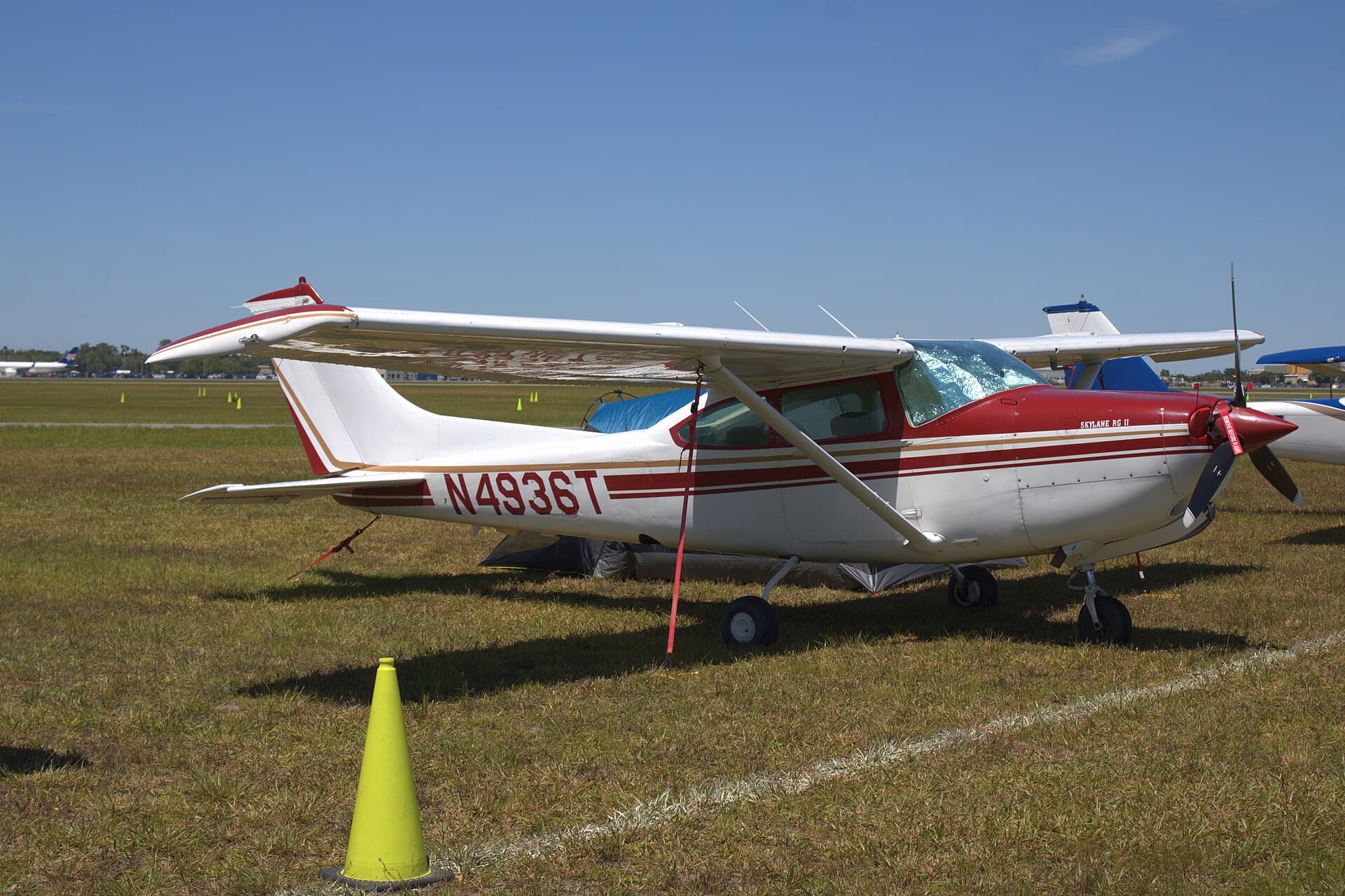
A pilot in the US state of Oklahoma used a flight path to draw a giant world map and then wrote the word "unity" in cursive beneath it, as captured on flight-tracking maps.
Footage of the track shows the aircraft, registered N1810R, tracing the outlines of the continents over northeastern Oklahoma, around Pryor Creek, Salina, Locust Grove and Chouteau and over Cherokee Nation lands. The route was completed with a large oval enclosing the map and the lettering.
Same plane drew the Mona Lisa
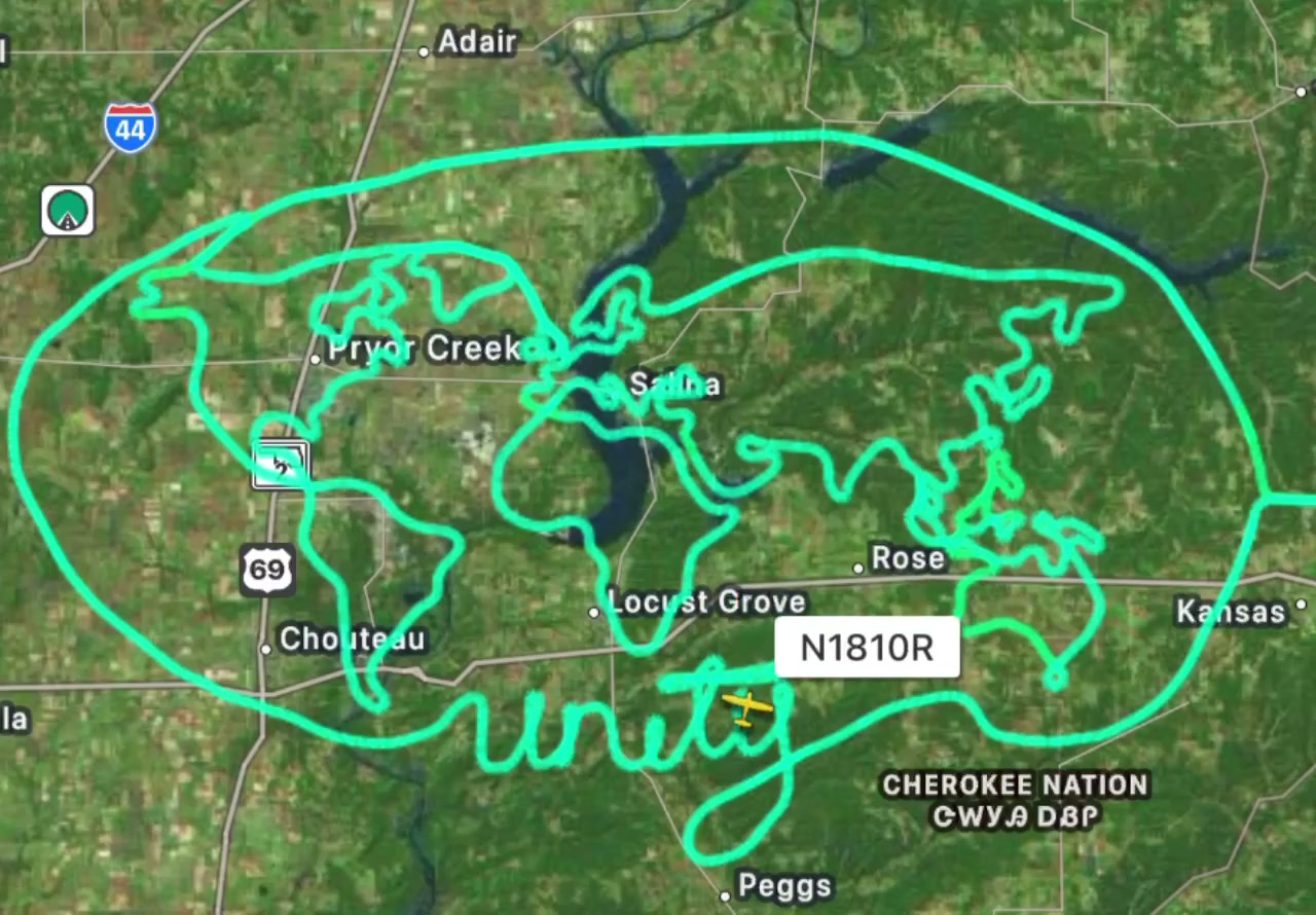
According to Federal Aviation Administration (FAA) records, N1810R is a Cessna R182 registered to Benjamin McDaniel. On Sept. 18, the same aircraft took off from Bentonville Municipal Airport in Arkansas and traced the outline of Leonardo da Vinci’s Mona Lisa along the Oklahoma–Arkansas line during a flight of nearly four hours, as recorded by the flight-tracking service AirNav Radar.
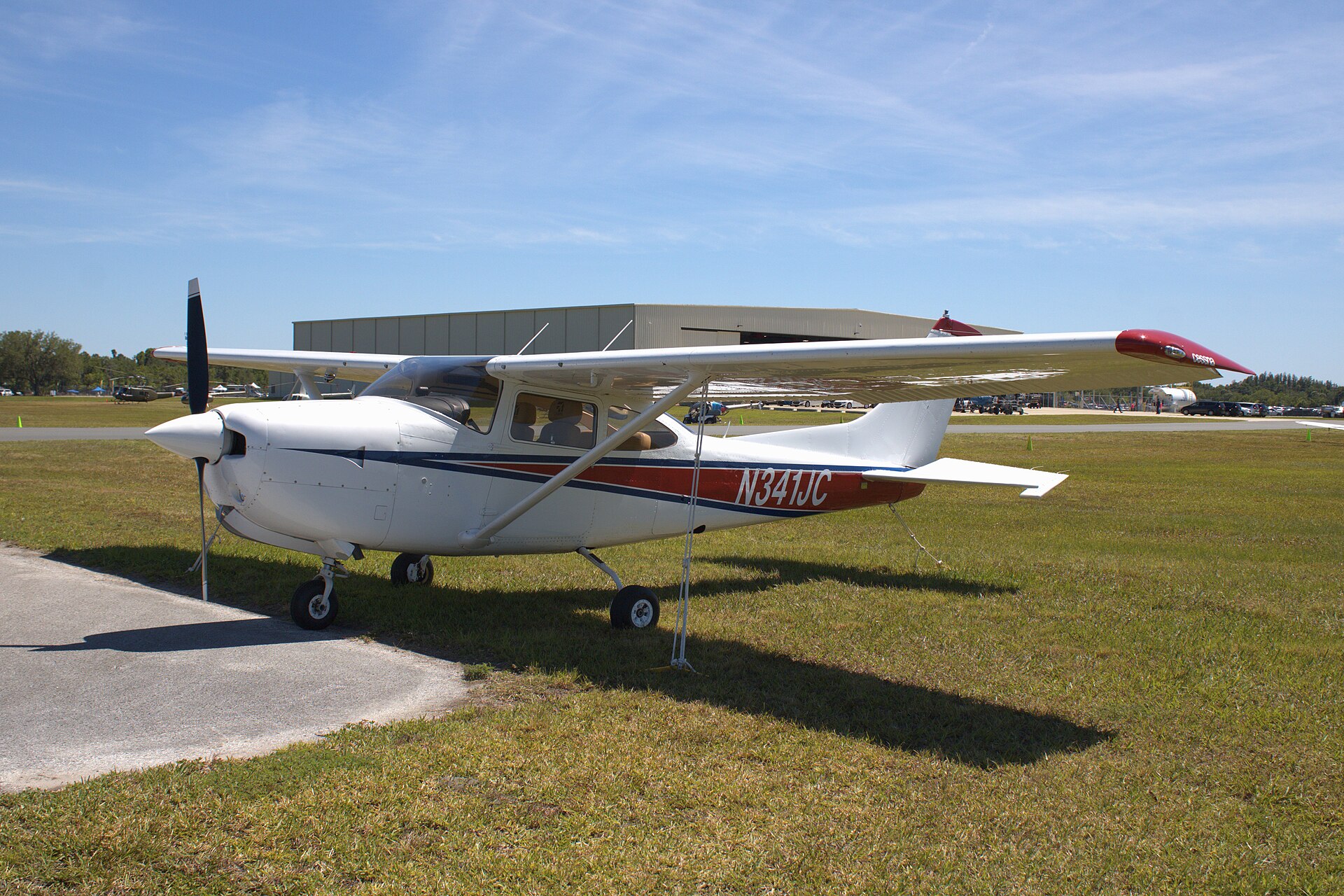
In an interview with Simple Flying, McDaniel said his interest in aviation began with a discovery flight in 2020, and that he graduated from Auburn University with a degree in aviation management and worked as a flight instructor. He began sky art in fall 2023 with simple shapes and words and plans his routes with ForeFlight and an Apple Pencil. "I started sky art as a fun way to build hours and stay sharp outside of instructing," he said.
"These flights take a few hours. You get one shot. No redos," McDaniel said. "The Mona Lisa is the favorite right now. It’s the most ambitious one I’ve finished." After the Mona Lisa, he also drew a giant fingerprint with the words "you are loved" on a flight from Bentonville.
Stay Updated with The Turkiye Times
Subscribe to be informed about special news, developments and announcements. We will keep you informed.
By signing up, you agree to our Privacy Policy