- BIST10011,483+1.32%
- USD50.07+0.05%
- EUR55.96-0.52%
- GOLD4,074.90-0.94%
- INTEREST36.00%-1.00
- BITCOIN75,768+0.02%
- November 8, 20267°
- BIST10011,483+1.32%
- USD50.07+0.05%
- EUR55.96-0.52%
- GOLD4,074.90-0.94%
- INTEREST36.00%-1.00
- BITCOIN75,768+0.02%
- November 8, 20267°
Uraloğlu says Türkiye will create digital drone highways
Minister of Transport and Infrastructure Abdulkadir Uraloğlu announced that digitally defined air corridors will be established for long-distance and autonomous flights by unmanned aerial vehicles. The system will enable intercity cargo transport and the transfer of blood, medicine and vaccines between hospitals.


Minister of Transport and Infrastructure Abdulkadir Uraloğlu announced that air corridors, also known as “drone highways,” will be introduced for unmanned aerial vehicles (UAVs) in Türkiye. Uraloğlu briefed Anadolu Agency on the corridors to be established under the Unmanned Aircraft Systems Directive (SHT-UAV), published by the Directorate General of Civil Aviation (DGCA) on July 30, 2026.
Uraloğlu said the new regulation establishes the framework needed for UAVs to conduct long-distance, beyond-visual-line-of-sight and autonomous flights in designated airspace corridors. “We will create digitally defined air routes in the sky. This will allow UAVs to fly safely and under control along designated routes. We will pave the way for a new transport option independent of road traffic,” he said.
Blood, medicine and vaccines to fly between hospitals
Uraloğlu said the corridors would offer significant opportunities, particularly in logistics and healthcare transport. “Drone highways could be used for intercity cargo transport and regular autonomous services between logistics and transfer centers. Blood, medicine, vaccines and medical samples could be transported between hospitals. Supplies could be delivered to islands and settlements where transportation becomes difficult during the winter months,” the minister said.
The system will also enable the transfer of parts between organized industrial zones, factories and ports. The corridors could also be used for long-distance inspections of power transmission lines, pipelines, railways and roads.
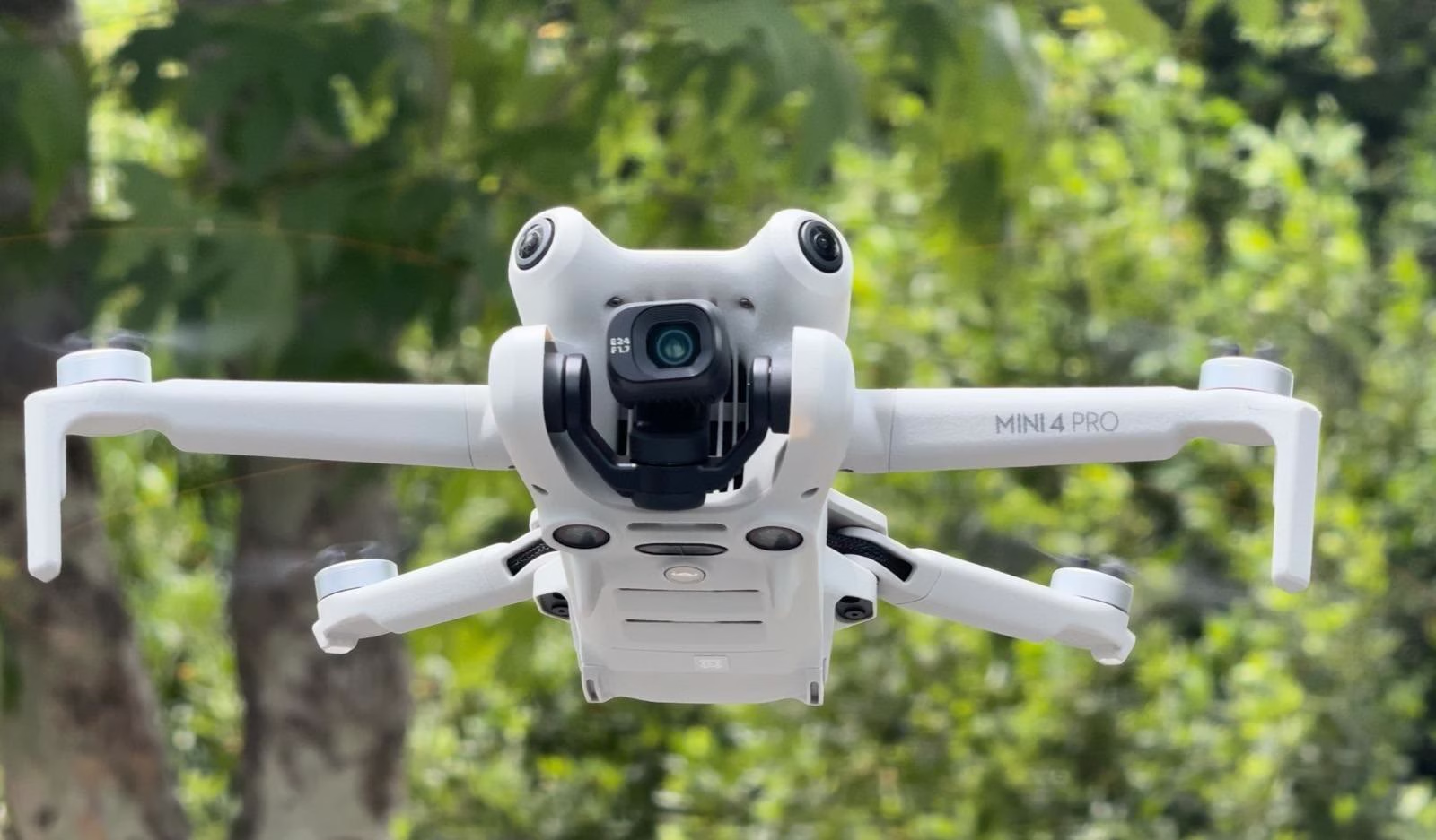
The corridors’ boundaries, entry and exit points, flight directions, capacities and minimum separation criteria between vehicles will be defined digitally. This information will be published through the DGCA’s UAV Tracking and Traffic Management System (İHATTYS), and UAV software will be able to read the data directly.
Artificial intelligence to determine routes
Uraloğlu said autonomous flight routes would be determined with artificial intelligence support based on the shortest path and phase difference. The corridors will be planned so that they do not cross prohibited, restricted or dangerous areas, or zones covered by published NOTAMs. Where necessary, flight boundaries may be tightened, routes may be changed or flights may be terminated. If connectivity is lost, UAVs will be directed to predetermined emergency landing areas without flying over populated areas.
The corridors will be closed to recreational flights. Uraloğlu said only pilots holding a P2 license would be allowed to fly under authorized operators after obtaining the required permissions from the DGCA. UAVs used in the system will be required to be registered and equipped with remote identification, geofencing and software certifications; notification must be submitted through İHATTYS before each flight.
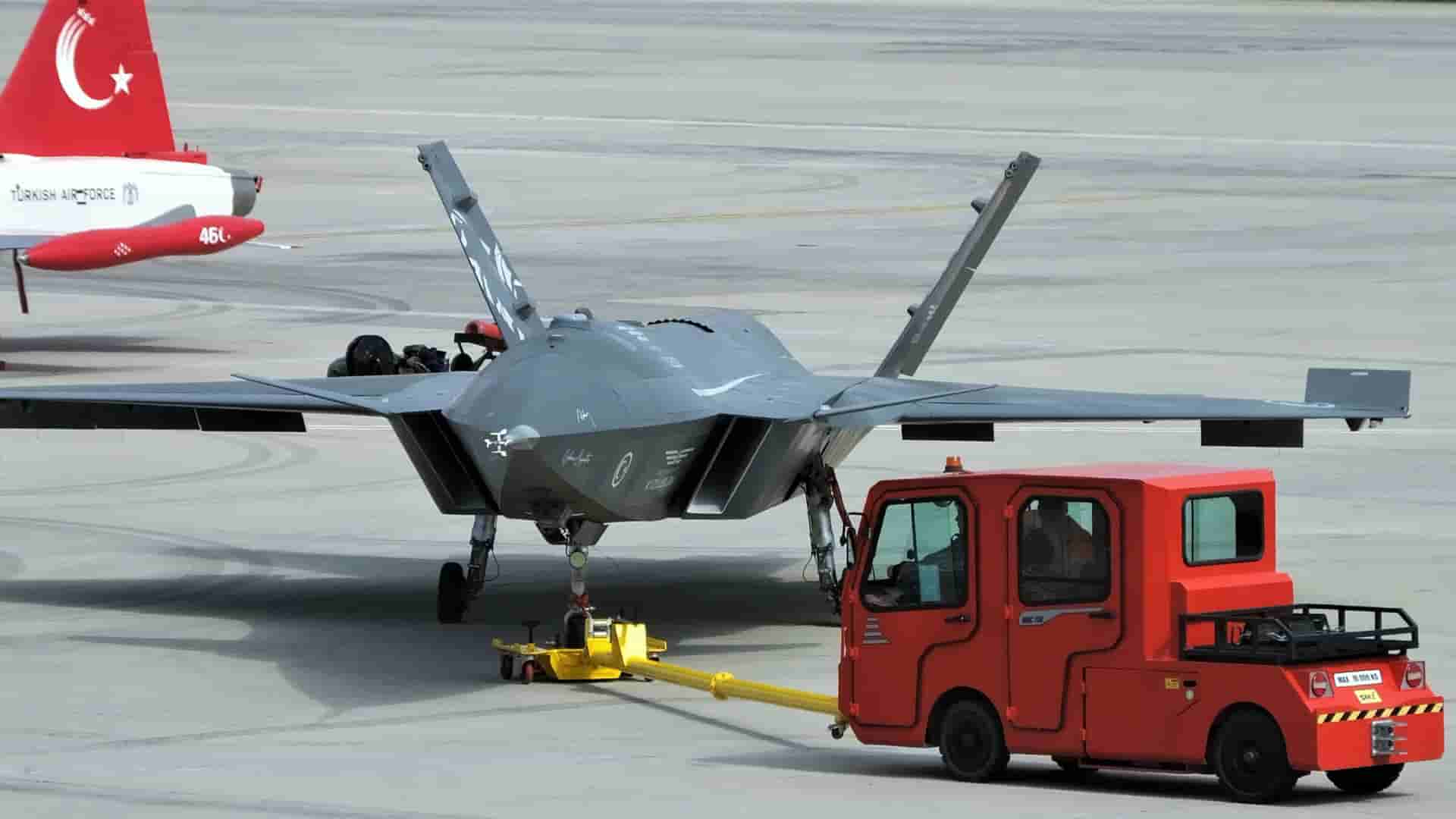
Photos: AA, DHA (archive)
Have a story, event or announcement of your own?Send us your news on WhatsApp
Spotted an error in this story?Report it on WhatsApp
Share on all social platforms
Sponsored Ads
Featured Listings
Loading featured properties...
Stay Updated with The Turkiye Times
Subscribe to be informed about special news, developments and announcements. We will keep you informed.
By signing up, you agree to our Privacy Policy